
Welcome to summer. It’s been wet.
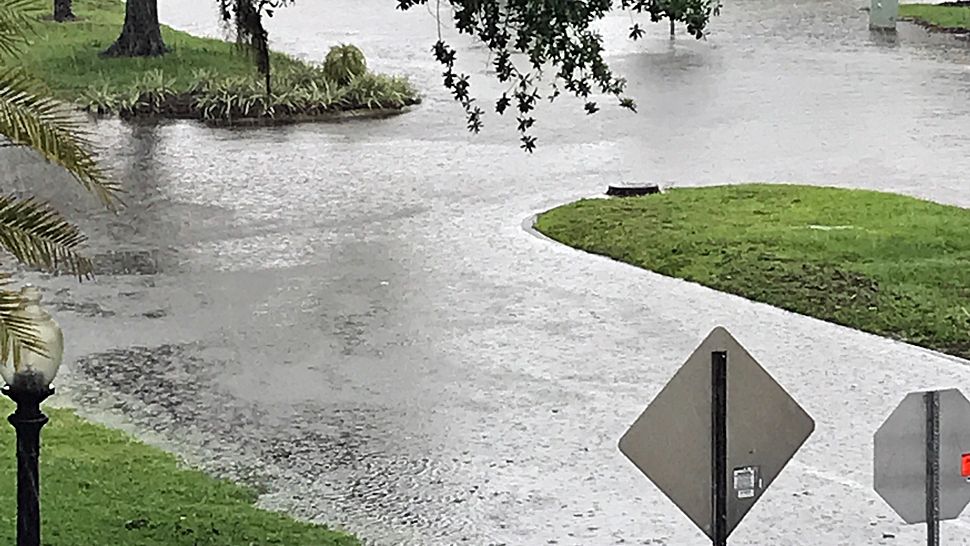
So wet that a Flood Watch, in effect since mid-week, remains in effect for most of Central Florida, including Osceola County, through Sunday night. So keep an eye out for local flooding if heavy rains set in.
If a street looks flooded, use another route instead of getting stuck. The experts say, “Turn around, don’t drown.”
A slug of tropical moisture ahead of strengthening Tropical Storm Cristobal in the Gulf of Mexico already had our area in a soggy pattern, and the storm, which is fairly unorganized and lopsided to the east, will enhance our unstable weather through the weekend even though the storm center is expected to make landfall in Louisiana. Tropical storm conditions should stretch 240 miles from the center on the east side of the storm. By Monday, the steady flow of moisture will eventually shift away from Central Florida.
Early muggy sunshine on Saturday and Sunday would create heat and instability that could kick off heavy rains later in the day. Osceola County could receive another 2.5 inches of rain through early Monday on top of the one to two inches received Thursday and Friday. Highs would be in the mid to upper-80s.


